Our story
In the beginning there were no earth, no sky, no sea. Out of this desire came the two primal parents Papatuanuku ( the Earth mother) and Ranginui ( the Sky father). They embraced in the realm of night and seventy children were born to them, all male, and thus Ira Atua (the first family) came into being. Living in darkness and longing to experience the world of light and day, the siblings decided that their parents should be separated.
However, not all the children agreed. Tumatauenga ( the deity of war) wanted them killed. Tane Mahuta ( the deity of man and forests and everything that dwells within) thought they should be separated, with Ranginui going above t the sky and Papatuanuku dwelling on the earth below. In turn they tried to separate their parents. Rongomatane (deity and father of cultivated foods) tried, but with no success. Tangaroa (deity of the sea), followed by Tumatauenga also tried but to no avail. Finally Tane Mahuta placed his shoulders against the ground, thrust his feet upwards and pushed.
The sinews binding his parents stretch back and forth, heaving and swaying, until finally the parents were separated and the children experienced Te Ao Marama (light of day) for the first time. When this happened, Tawhirimatea (deity and father of winds and storms) who had not agreed to the separation, went up to the sky to be with his father.
When the separation was completed there was only one thing lacking, the uha ( female element). Since there were no women, Tane took some clay from a place known as kura-waka and fashioned it into the form of a women. Then he breathed life into the nostrils, and thus was created Hine-ahu-one (the earth formed maiden). Tane Mahuta and Hine-ahu-one had a daughter and thus the family of man had begun.
Today we are families originated from Tane Mahuta, father of plants and man. We are spread like the mamaku fern, throughout Tai Tokerau. We are many families, we are many clusters and yet we are the same family. We form the taurapa (stern post) of the waka and together we provide the stability and the sustainability for economic development for Tai Tokerau Tourism. We are Te Whanau o Te Tai Tokerau, the families of Northland
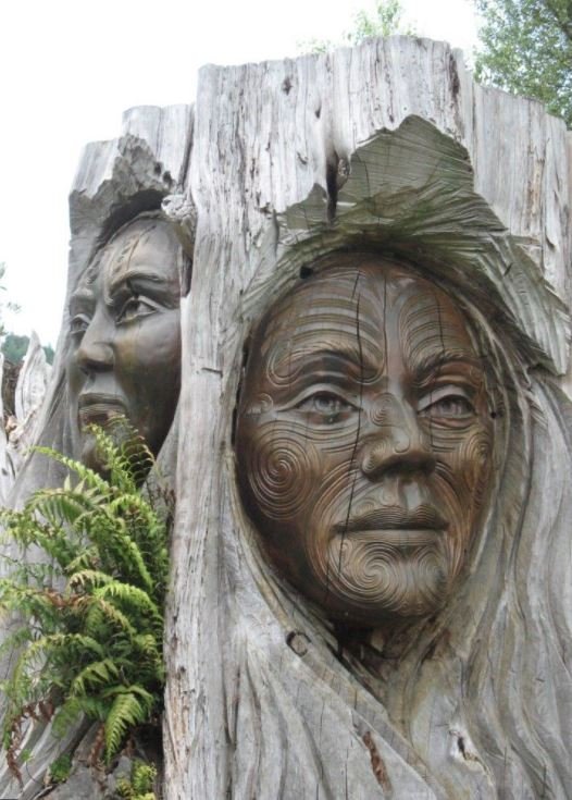
We invite you to visit, and enjoy the delights of our sub-tropical paradise, experience our warm hospitality, our culture, heritage, and the very special service of our Maori and cultural tourism operators who cast their net the length and breadth of Tai Tokerau (Northland).
Tai Tokerau stretches from Auckland north to Cape Reinga at the very top of the North Island of New Zealand. The regions of Tai Tokerau, Northland offer contrast and variety…. scenic beauty, unique activities, adventure, authentic culture and heritage.
It’s not just the places that will make your Tai Tokerau, Northland experience special, its also the people who look forward to welcoming you!

The Maori people first arrived in New Zealand Aotearoa) over 1000 years ago from their ancestral homeland of Hawaiki. They came in great ocean-going double hulled sailing canoes (waka hourua) and they named the land Aotearoa (Land of the Long White Cloud). More waka hourua continued to arrive over the next several hundred years, landing in various parts of New Zealand. Many iwi (tribes) can trace their origins and whakapapa (genealogy) back to these ancestoral canoes. Today, Maori make up over 14 percent of the population and the language and culture impacts on all aspects of New Zealand life
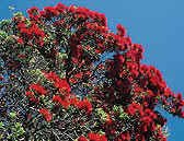
The venerated pohutukawa is the Reinga, “the place of leaping” in Maori legends, where the spirits of the dead leap off the headland and climb down the roots of the 800 year old tree, and descend into the underworld to return to their traditional homeland of Hawaiiki.
THINGS TO DO
Discover what Northland has to offer Island New Zealand.
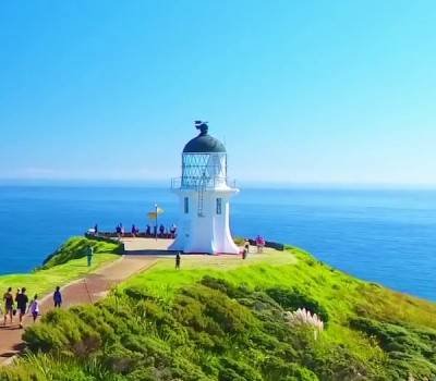
Maori know the very top of the North Island of New Zealand as Te Hiku o te Ika a Maui – the tail of the fish of Maui. According to tradition, the North Island was once a giant fish pulled out of the sea by Maui from his canoe.
Wellington (bottom of the island) forms the head of the fish, and the tip of the fish’s tail is Cape Reinga. Cape Reinga with it’s lonely lighthouse gnarled, twisted pohutukawa tree and windswept cliff tops, is a mystical place of rugged beauty. Here you can also see the turbulent waters of where two mighty oceans meet (Pacific Ocean and Tasman Sea).
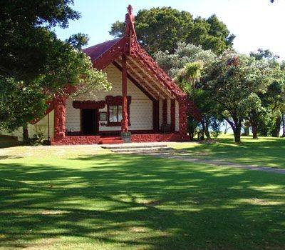
The Waitangi Treaty Grounds present a rare opportunity to experience the place where, in 1840, Maori and the British Crown first signed New Zealand’s most significant document, the Treaty of Waitangi.
The magnificent park like Treaty Grounds are bordered by sweeping Pacific Ocean views and feature the historic Treaty House, fully carved Maori meeting house, one of the worlds largest ceremonial Waka (canoe), guided tours, seasonal cultural performances, quality shopping and fully licensed café.
The Treaty Grounds are open daily from 9 am (Closed Christmas Day)

Mighty Tane Mahuta the world’s largest living Kauri tree, is named after the Maori “god of the forest” and is estimated to be over 2000 years old. With a girth of 13.8 metres and height of 51.5 metres, Tane Mahuta dominates Waipuoa Forest in the Hokianga region of Tai Tokerau.
The Waipoua Forest is home to three quarters of New Zealand’s remaining kauri trees and within the forest’s 2,500 hectares, there are a number of walking and tramping tracks, including wheel-chair access along the boardwalk to Tane Mahuta.
DISCOVER THE MUST SEES
Discover what Northland has to offer in New Zealand.
In Biblical times, our great Maori navigator and explorer, Kupe, sailed from Raiatea to Aotearoa New Zealand and settled at the place we now know as Hokianga on the west coast of the North Island. Kupe described his new home as te puna o te ao marama –the spring of the world of light.
In his very old age he left for his original homeland in Raiatea, naming his departure point as te hokianga nui o Kupe – the great returning place of Kupe. Since then, over 200 generations and other migrations have made their mark, but the special landscape and light remain.
Today Hokianga contains the ancestral lands of our Maori tribe, Ngapuhi. Lands that are rich in tradition, natural beauty and a peaceful spirit where the great kauri giants live, awesome undeveloped coastlines, remarkable wildlife, contrasted with small picturesque villages and relics of early European settlements.
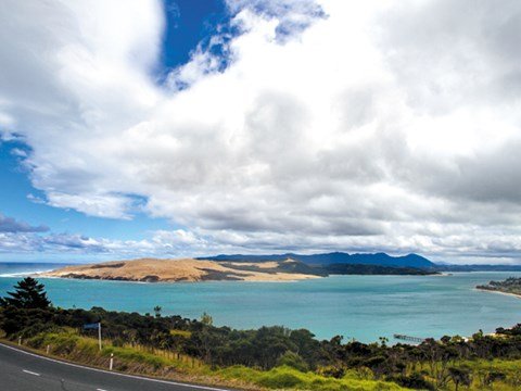


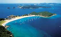
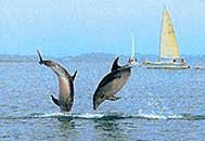
The Bay of Islands is known internationally for the beauty of its 114 pristine islands, sparkling waters, winterless climate and its pivotal role in the historical development of the New Zealand nation.
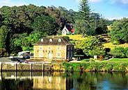
The land and waters form part of the tribal ancestral areas of the Ngapuhi Maori tribe who are descended from the ancestor, Rahiri. Ngaphui were involved foremost in the evolution of relationships with early European. These relationships were both friendly and in conflict but at all time were strategically based.
Many of our whanau and families are descended from Maori Chiefs and European ancestors associated with the historic signing of the Treaty of Waitangi, the founding document of the New Zealand nation.
The Maori tribe Ngatiwai also share in the rich history of the water a lands of water of the Bay of Islands.
The Kaipara district lies within the ancestral areas of our Ngati Whatua and Te Roroa Maori Tribes.
The traditions of Ngati Whatua establish the arrival of their ancestor, Rongomai Te Ariki on board the ancestral canoe Mahuhu Ki Te Rangi at Kaipara around the year 1250A.D. Today, the Kaipara Harbour is acknowledged as having the longest shoreline of any harbour in the southern hemisphere.
Our people of Te Roroa are among the custodians of the giant kauri forests of the Kaipara, the place that has come to be known by visitors as the Kauri Coast.
Together, the Kaipara Harbour and the Kauri Coast provided the means for both Maori and European settlement and development. The giant Kauri trees were prolific in the early settlement days and generated large income from overseas shipping companies for the sailing ship building industry.
Kaipara also had some of New Zealand’s largest Maori settlements. The largest being at Tokatoka where some 10.000 Maori lived at one time, supplying the vast majority of the fresh produce to the Auckland Market.
Today the Kaipara remains blessed by heritage and by nature, an attractive mix of productive farming and forestry together with relics of ancient Maori occupations and early European settlements within a natural setting of volcanic hills, massive native rain forests, extensive dune country and fresh waters lakes.
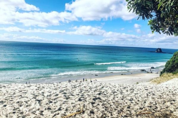

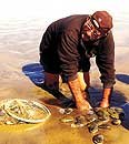
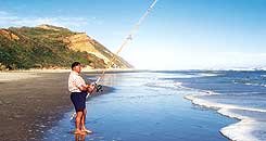

The Whangarei district lies within the ancestral areas of the Ngapuhi, Ngatiwai and Ngati Whatua Maori tribes. Translated from Maori, Whangarei means, “cherished harbour” and which today remains unspoiled.
Whangarei city is reputed to be New Zealand’s warmest city and enjoys more than 2,000 hours of sunshine a year, while having enough rainfall to keep surroundings lush, green and attractively semi- tropical. In the heart of the city, Quayside at the Town Basin is a quaint waterside retreat offering visitors a variety of cafes, restaurants, museums, art galleries and speciality shops.
| The district extends from Langs Beach in the south to Bland Bay in the north and contains Pacific coastline boasting some of the finest beaches in the country. The area offers a wide range of indoor and outdoor activities and features rural and coastal reserves that highlight unspoilt bush and ocean vistas. |
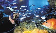
The Poor Knights Islands marine reserve; off the coast of Tutukaka is a diving mecca famous for exceptional water clarity and variety of sea-life.
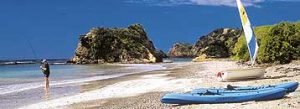
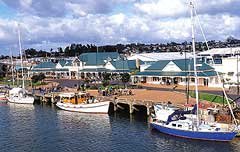
The Rodney district lies within the ancestral areas of the Ngati Whatua and the Ngatiwai Maori tribes.
Rodney is known for its two distinct coastlines, spectacular scenery and abundance of recreational activities.
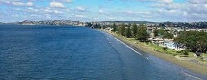
On the east coast, the Hauraki Gulf and associated safe swimming beaches with shore-based facilities provide incredible opportunities for water-based activities. The offshore islands provide the opportunity to view both historic colonial developments as well as the habitat of endangered birdlife.
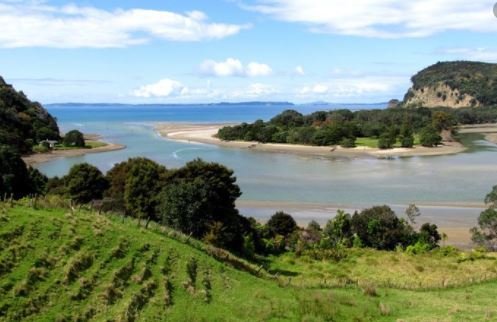
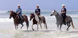
The West Coast is known for its wild, unspoilt beauty, rugged coastline and dramatic scenery, along with the only on-shore gannet colony at Muriwai. The Kaipara Harbour is rich in history of the past kauri milling operations. Together they form more 1000 kms of coastline suitable for a multitude of activities. These coastal opportunities contrast with inland opportunities for visiting small townships and accessing a diverse range of attractions, shopping, food, wine and art highlights.

BEST PLACE TO EAT
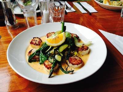
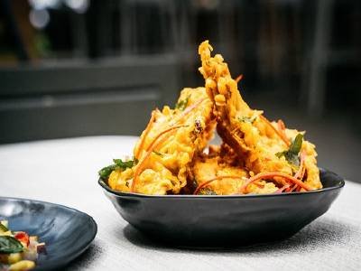
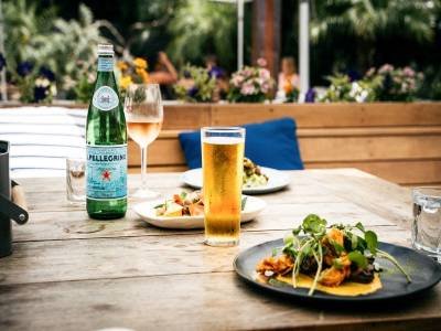
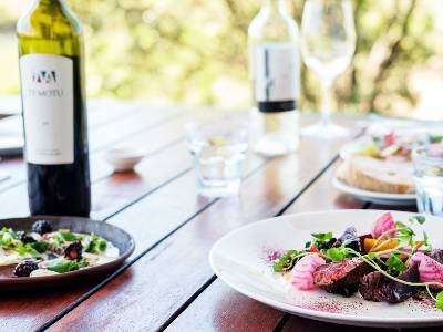
Discover the dining experience of a lifetime in Northland New Zealand.
BEST PLACE TO STAY
Discover some of the best places to stay in Northland New Zealand.
